Yüksek İş Bitirme Kapasitesi Ve Kurumsal Güven
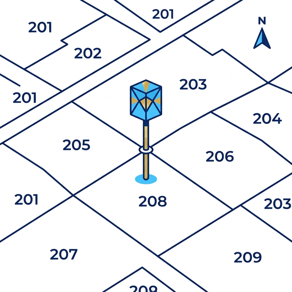
İpek Mühendislik A.Ş. | Harita, Kadastro & 3D Oblik; yerel ölçeğin ötesinde, il ve ilçe çapındaki 22/a kadastro yenileme ihalelerini, Karayolları ve TCDD koridor haritacılığını, DSİ kamulaştırmalarını ve 3D oblik kent modellerini başarıyla teslim etmiş kurumsal bir mühendislik yüklenicisidir.
Tapu ve Kadastro Genel Müdürlüğü (TKGM), Orman Genel Müdürlüğü (OGM) ve DSİ standartlarına %100 uyumlu teknik altyapımız ile ülke çapında hizmet vermekteyiz.
Vizyonumuz
Türkiye genelinde kamu kadastro yenileme, LiDAR ve 3D oblik kent modelleme alanında en yüksek iş bitirme hacmine ve teknolojik üstünlüğe sahip lider harita mühendislik kuruluşu olmak.
Misyonumuz
Kamu kurumları, belediyeler ve sanayi yatırımcıları için mevzuata tam uyumlu, milimetrik doğrulukta mekânsal veri imal etmek ve geleceğin akıllı şehirlerine dijital altlık sağlamak.
Mühendislik Ve Teknolojik Altyapı
Kamu ihalelerinde yüksek doğruluğa ulaşmamızı sağlayan endüstriyel uçuş platformları ve LiDAR tarama donanımlarımız.
Trinity F90+ VTOL İHA
90 dakika kesintisiz uçuş ve 100 km² / gün alan tarama kapasitesine sahip dikine kalkışlı sabit kanat İHA.
90 Dk Uçuş5-Kameralı Oblik Sensör
1 dik, 4 eğik açılı 100MP toplam çözünürlüklü fotogrametrik 3D kent modeli kamera sistemi.
CityGML LoD2 / LoD3Airborne LiDAR RIEGL
Saniyede 1.000.000 nokta atan çoklu yankı (multi-echo) lazer tarayıcı ile orman altı DEM üretimi.
1M Nokta / SnNetcad / ArcGIS Stack
TKGM Megsis ve BÖHHBÜY yönetmeliklerine %100 entegre sayısal harita ve veritabanı yazılım mimarisi.
2018/13 GenelgeKamu İhaleleri & Projeleriniz İçin Teklif Alın
22/a kadastro yenileme, 3D oblik kent modelleme ve LiDAR haritacılık projeleriniz için teknik şartnameye uygun teklifinizi hemen hazırlayalım.